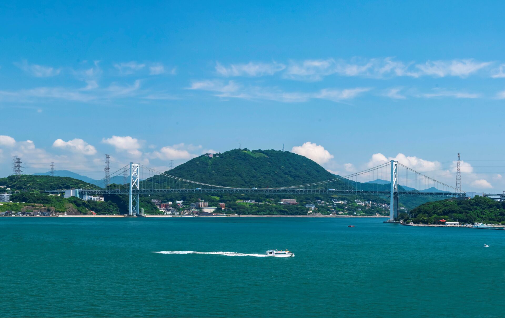
The Kanmon Strait is a 27.7-kilometer-long waterway of complex, rapid, and ever-changing currents that separates the islands of Honshu and Kyushu. Several factors combine to create this intricate hydrodynamic environment: the channel is only 12 meters deep at its shallowest and just 650 meters wide at its narrowest point, the Hayatomo Strait. The tidewaters course through the channel at speeds of up to 9.4 knots (17.4 km/h) at high tide and around 5 knots (9.125 km/h) at low tide. (For comparison, the Kuroshio ocean current flowing from Okinawa to Hokkaido flows at 3 knots at its fastest.)
Changes in Direction
The Kanmon Strait tides reverse direction every six hours, flowing east, then west, then east again. This unusual phenomenon is caused by the differing tidal ranges of the Suō Sea to the east of the strait and the Hibiki Sea to the west. At high tide, the average depth rises 1.8 meters on the east side and 0.8 meters on the west side. This causes the water to flow “downhill” from east to west. The flow changes direction at low tide, when the water level is 2 meters below average on the east side and 0.7 meters below on the west.
A Seafaring Challenge
These mercurial currents make the Kanmon Strait a stern test for even the most experienced pilots and captains, and traveling its waters requires sophisticated navigational skills. In the Hayatomo Strait, on the Shimonoseki side, ships traveling against the current must maintain a speed 4 knots faster than the speed of the flowing water.
Despite these challenges, as many as 1,000 vessels traverse the strait each day, including massive cargo ships bound for the United States. Passenger ferries crossing from Shimonoseki to Moji must carefully avoid the giant ships while negotiating the currents.